Choosing the Right Tools and Software for VR Nitrogen Optimization in Agriculture
Jewell, KS|Nov 16, 2022
What is everyone using for VR Nitrogen? Imagery? Soil Tests? Adapt N? Or other software or any other tools in the shed?
Answers (8):

Dec 15, 2022
I would highly recommend using NDVI imagery. Compile multiple years of data and look for consistent layers. Try to avoid drought or super wet years.
Once you establish a solid foundation of imagery, THEN incorporate your yield data once that has been gone through and cleaned up. Yield data is great in the right situations but can be detrimental if combines weren’t calibrated properly or running multiple machines.
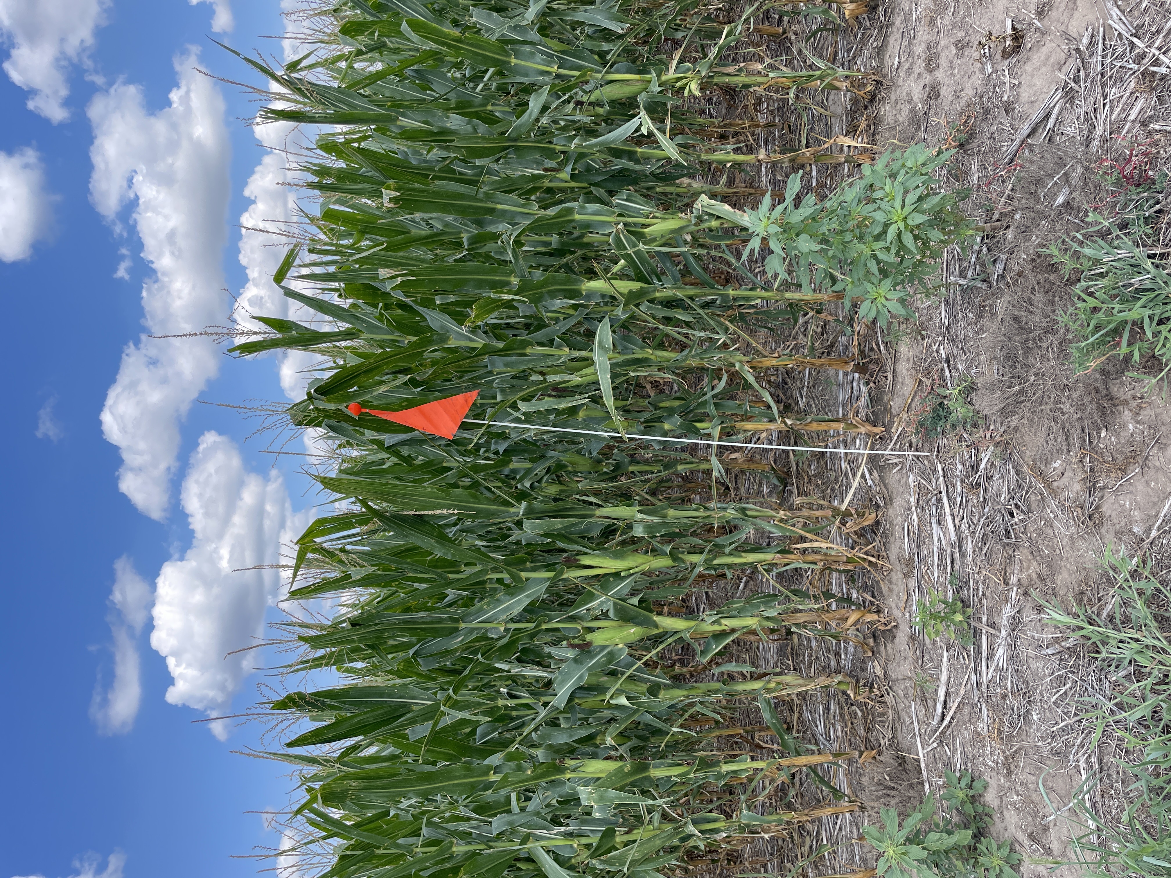
I zone sample every acre I map. Once I establish my zones, I’ll go in and ground truth them with elevation to ensure they make sense.

Dec 06, 2022
Biggest thing imo is finding consistency within a fields. Been able to get there using multiple years of data whether that’s NDVI or harvest data. THEN go ground truth the zones with a zone soil test.

Dec 05, 2022
Historical GPS data from yield monitor with good beginning soil test is best approach in my opinion. Broadacre soil characteristics don’t rapidly change except by erosion, other means of removal or exceptional application rates.

Nov 19, 2022
We use RE-NVDI and calibrate the data with field working. Just because there is stress in certain areas of the crop doesn't necessarily mean it's N.
It is stress.
Tissue sampling, Brick level, are all tools that can be used to help with the decision as long as I know where the area is that has stress and how big.

Nov 17, 2022
At last count, there are 46 different software products on the market to aid growers in planning VR Nitrogen application.. prescriptions. All of them seem to work to some degree, but I observe they differ in terms of precision. . The best ones like Swatmaps and SoilOptix provide multiple data layers which allow for a better outcome (when combined with good agronomy advice)., But These Come at a much higher cost. Many people seem to start with lower cost systems using Satalite imagery . OneSoil and GeoPard are worth a look, but honestly there are dozens of good alternatives here..

Nov 16, 2022
Intelinair (AgMRI) system is pretty good and they've just teamed up with Yara re VR N
https://www.businesswire.com/news/home/20221024005737/en/Intelinair-Yara-North-America-Collaborate-to-Further-Optimize-Nitrogen-Use-Efficiency

Nov 16, 2022
We’re doing variable rate NH3, variable rate planting, soil sampling on 2.5 acres grids every 4 years and using Agfinity and SMS for software.

Nov 16, 2022
Multi-year imagery to create zones and soil test those zones.
GK Technology has a software that’s as capable as anyones imagination to incorporate that plus other layers, if that’s yield, topography, EC data, etc.
EM-38 soil sensors are the next step in my opinion to define zones. SWAT maps are the biggest player that offer a sensor + mapping solution in one package.